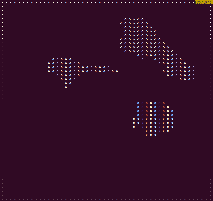
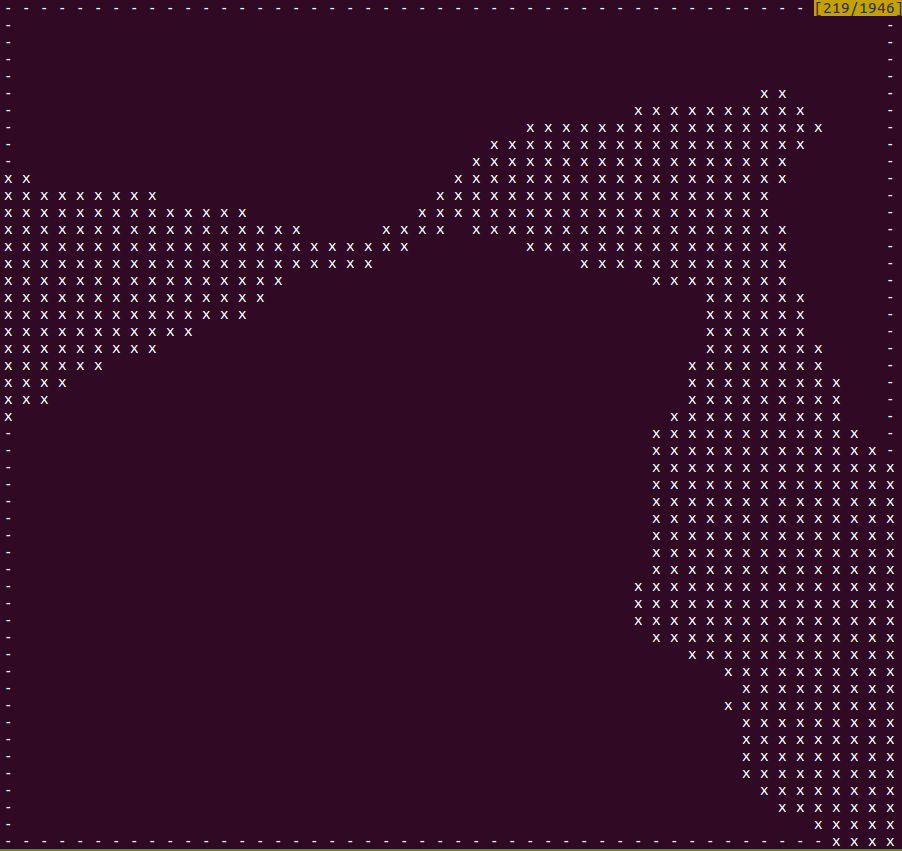
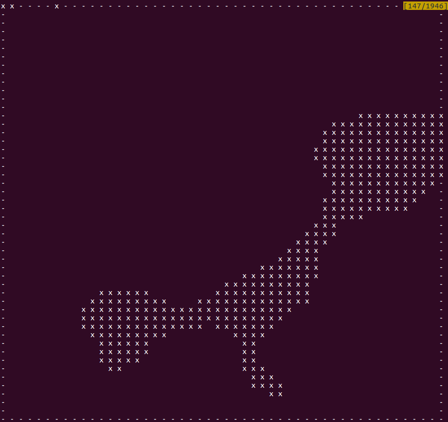
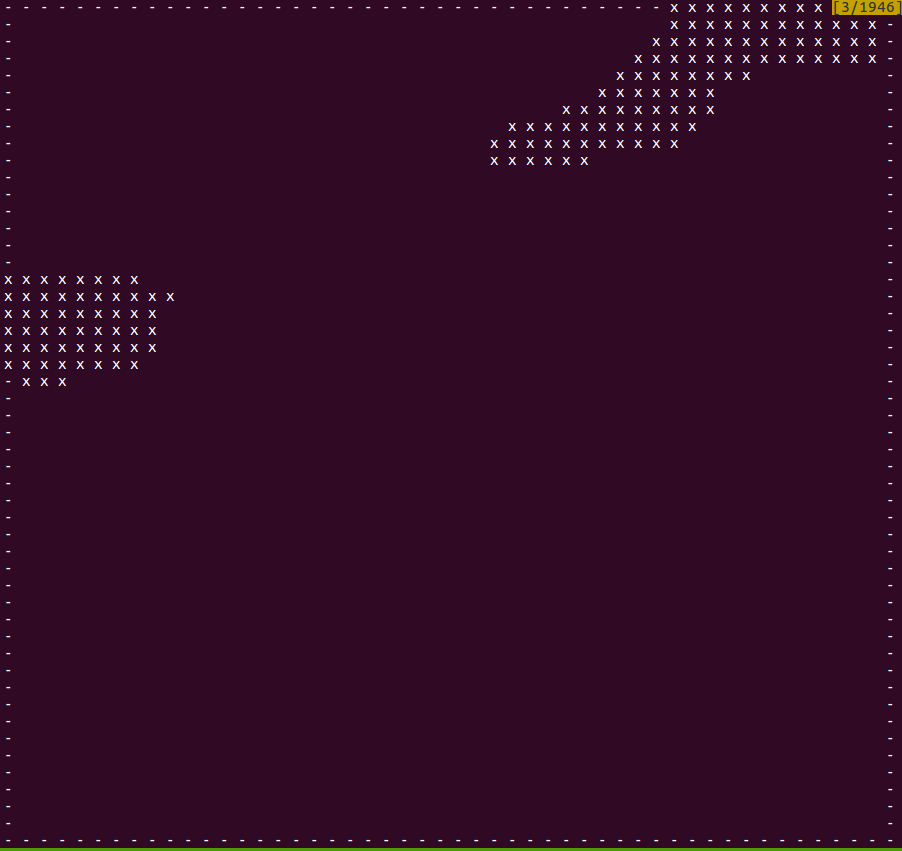
coverage planning targets
Coverage path planning needs to be done for these four target regions.
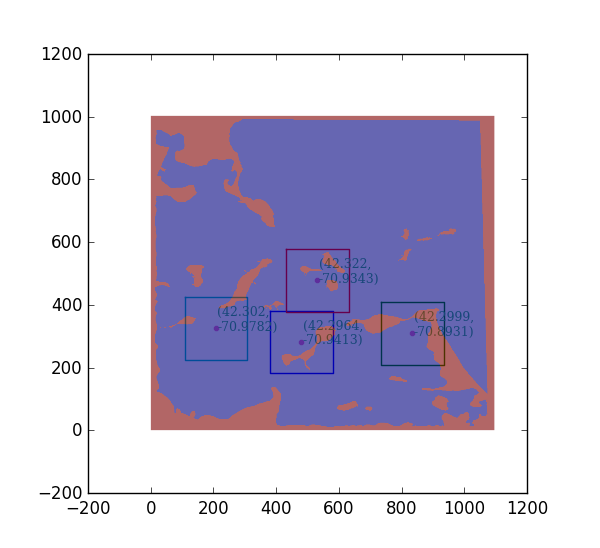
The following for images show the regions as nodes for path planning. Each node is represented as an ascii character, so it looks like the original map. The resolutions is lower than the region in the original map
An ‘x’ indicates terrain. Whitespace indicates free target space. A dash indicates that that the space is free, but not target; there is no gain to visiting that node, but it can be used to go around obstacles.
A “margin” parameter expands the terrain to keep the boat safely away from shore.